
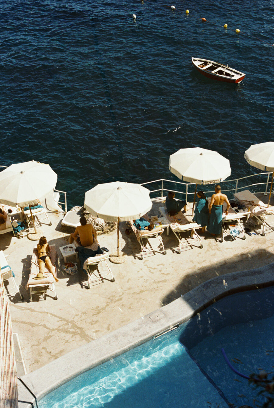

Oia, from the lane above the domes
Everything practical about Santorini in one place, checked against primary sources in October 2026 and written the way I would actually brief a client. Where something could not be confirmed, I have left it out rather than guess, and where a widely repeated figure has changed I have said so, because a lot of what is online about this island is several years stale.
Destination overview
Santorini, or Thira, is the southernmost of the Cyclades and the rim of a volcano that erupted catastrophically in the Late Bronze Age, blowing out its centre and leaving a flooded caldera ringed by cliffs. Around fifteen and a half thousand people live here year round. The economy is tourism and wine, in that order, and the island is small: roughly seventy-six square kilometres, eighteen kilometres top to bottom, and nowhere more than about twenty-five minutes from anywhere else by car.
The main settlements are Fira, the capital, halfway along the caldera rim; Firostefani and Imerovigli just north of it along the same cliff; and Oia at the northern tip. Inland and to the south sit the older agricultural villages, Pyrgos, Megalochori, Emporio, Exo Gonia, and the black-sand beach towns of Kamari, Perissa and Perivolos. Across the water, Therasia is the piece of the rim left on the far side, and the dark islets of Nea Kameni and Palea Kameni in the middle of the bay are the young, still-active cone.
You’ve reached the quiet door.
FOR MEMBERS ONLY.
Behind it: the full reviews, the complete guides, every route story we’ve written. Subscribe today, and continue reading this article and more.
Already a member? Sign in
Curious about Membership?
Stay a while and read it all.